Friends of the TAM - Chipman Hill


Have you wished that MALT had a Friends of the TAM group that you could join to meet other TAM enthusiasts to enjoy time out in nature & contribute to stewardship of the trail? The wait is over😊.
MALT is piloting a Friends of the TAM group, on Chipman Hill this Spring. Walks will be chosen based upon the season and the interests of the participants, but, no matter what the primary objective, you can always be sure that we will be listening for birds & will be on the lookout for interesting flora and fauna as we walk the trail!
The Friends goal is to be out in nature with kindred spirits. Spending more time in nature builds a deep-seated love of our natural world & ensuing from that, a desire to protect and steward it. We have high hopes that this volunteer community model could end up being a long-term MALT/TAM stewardship force multiplier.
Walks are free, but will require preregistration to allow for a practical group size. Walks will be roughly monthly, with some on weekends and some on weekdays to work for as many folks as possible. Walks will be postponed to the next day, same time, but only if the forecast indicates a significantly inclement outing. Notification of the postponement will go out by email by dinner time the day before. Additional walks may be added to accommodate the interests of and schedules for everyone who would like to participate. Let us know how you would like to be involved by filling in the short checklist here. For more information, email Holly Fulton at holly@maltvt.org.
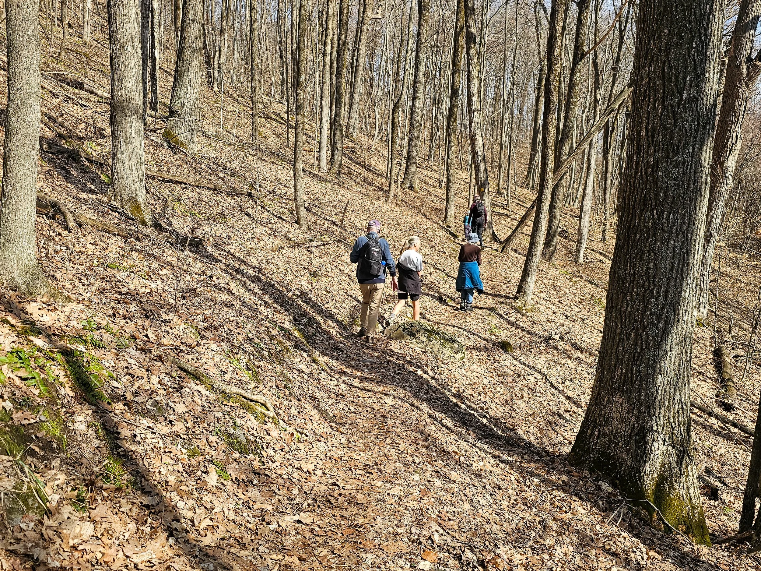
Our Friends group will be kicked off by a Chipman Hill lollipop hike on Saturday April 18th, 8:30 AM. This will be an easy/moderate hike of ~3 miles, looping up, around, and down Chipman Hill, starting & ending at Washington St. Ext. Trailhead. We will be looking for signs of spring!
That will be followed by a nature walk on Wednesday, May 13th, 8:30 AM led by Herpetologist Jim Andrews. He will be focusing on the identification of birds (by sight and song), trees by bark, buds, and leaves), and perhaps a few amphibians (by sight and call). We will be joined by MALT’s Executive Director, Kevin Fox.
See links in the table below for more information and to preregister for these and for future events.
Upcoming Walk Schedule
| Date | Rain Date | Time | Description | Leader |
|---|---|---|---|---|
| Tues Jun 16 | Wed Jun 17 | 7:00 PM |
Sunset Bird Walk. Meet at Washington St. Trailhead, carpool to Springside Trailhead. Plan to walk the loop of about 2 miles around Chipman Hill. We will be joined by Kevin Fox, MALT’s Executive Director.
Register / Info |
Ellyn Montgomery |
| Sat Aug 29 | Sun Aug 30 | 8:30 AM |
Have you ever noticed that the plants and trees change as you hike up Chipman Hill? Join us for a leisurely walk as we identify local plant life and think about why communities change from one spot to another. We'll start at the Washington St. Ext. TAM Trailhead and see how far we make it.
Register / Info |
Monica Przyperhart |
| Wed Sept 16 | Thurs Sept 17 | 7:30 AM |
Look for migrating warblers & fall wildflowers on an end-of-summer nature walk. Meet at Washington St. Ext. TAM Trailhead, carpool to Springside Trailhead for a relaxed walk on Chipman Hill.
Register / Info |
Scott Kluever |
A Brief History of Chipman Hill
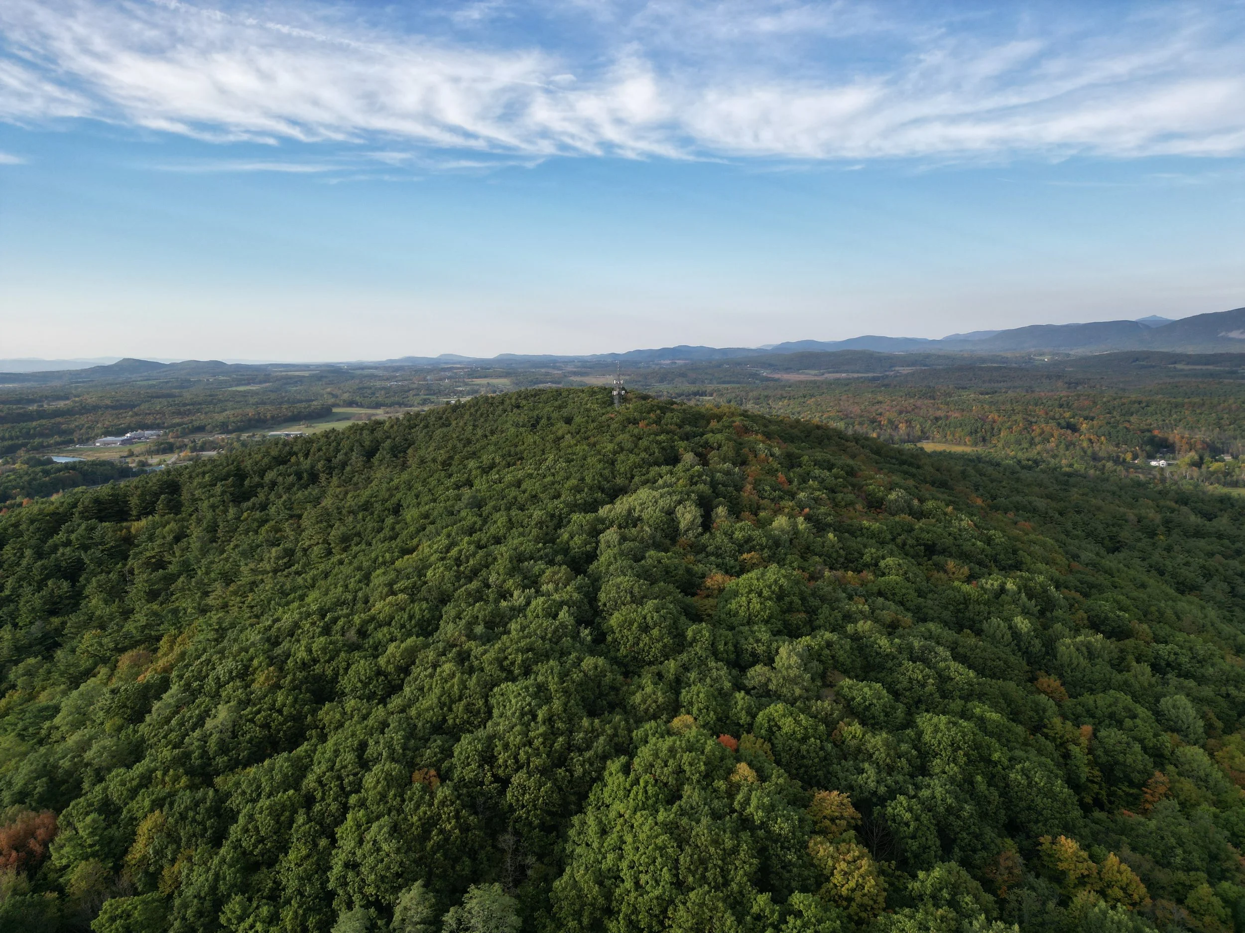
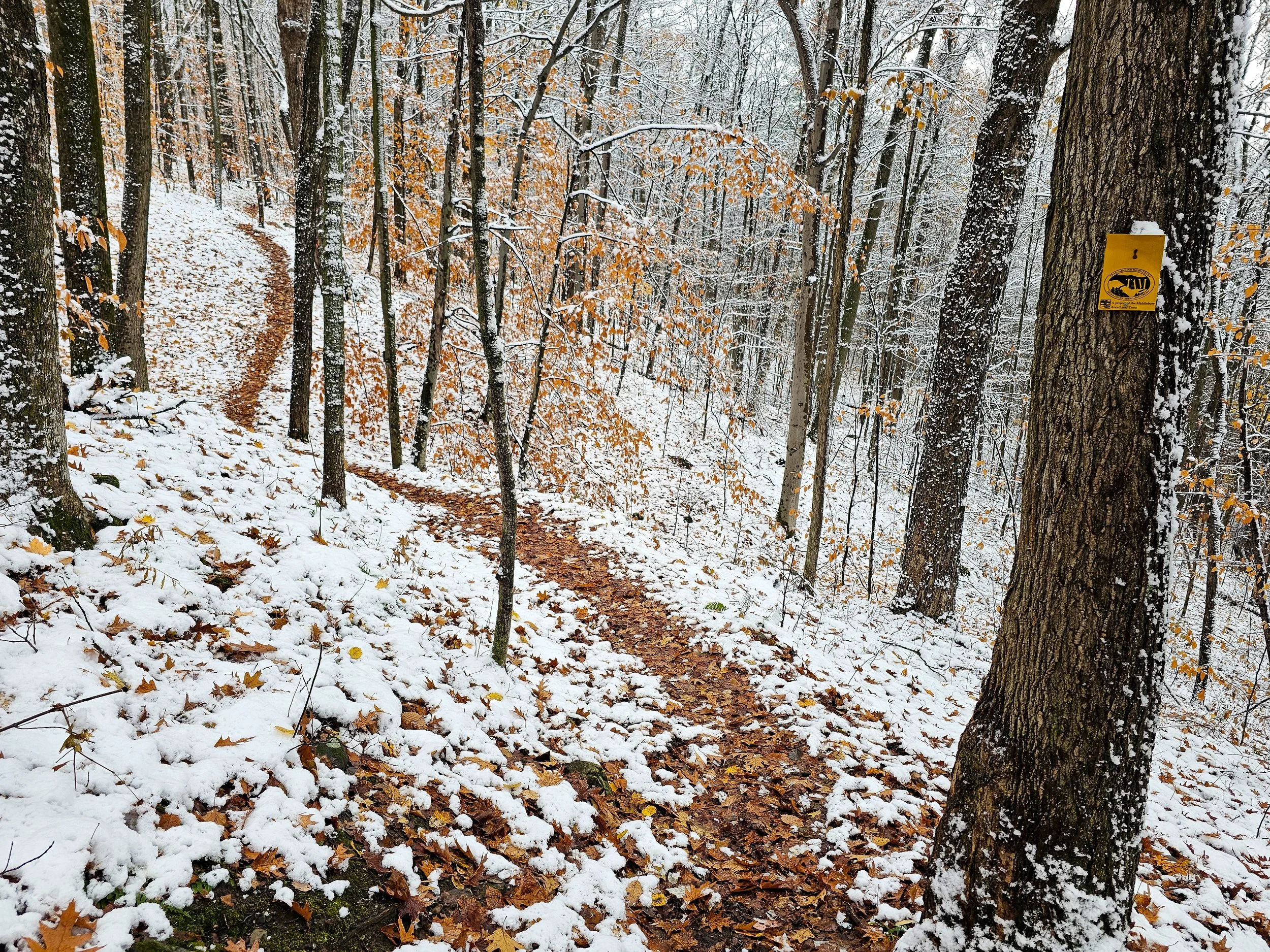
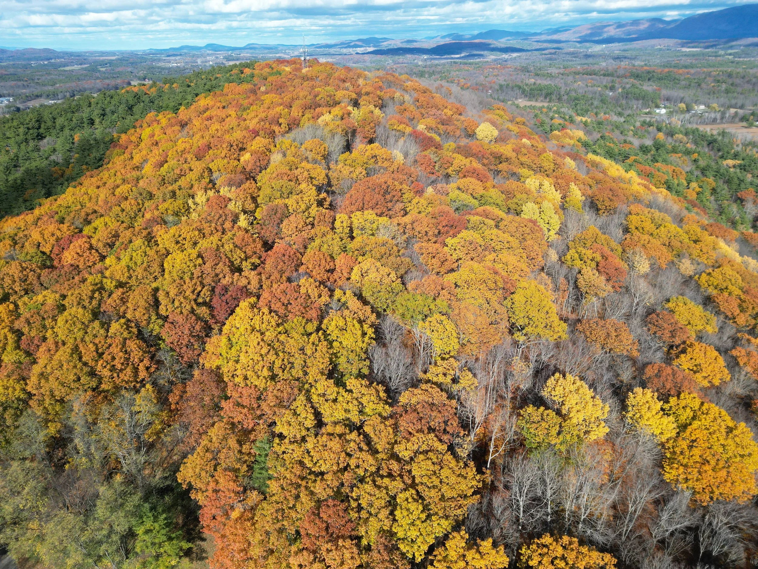
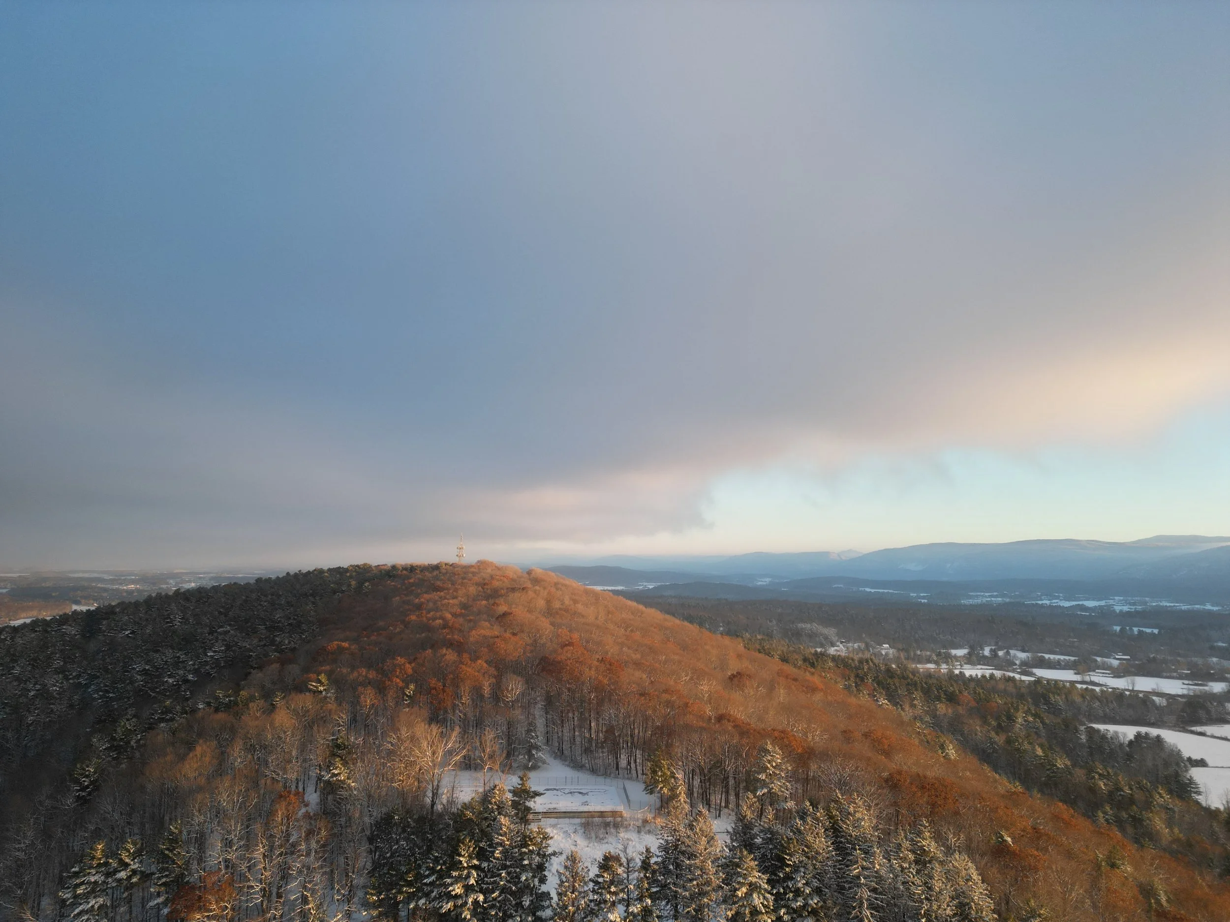
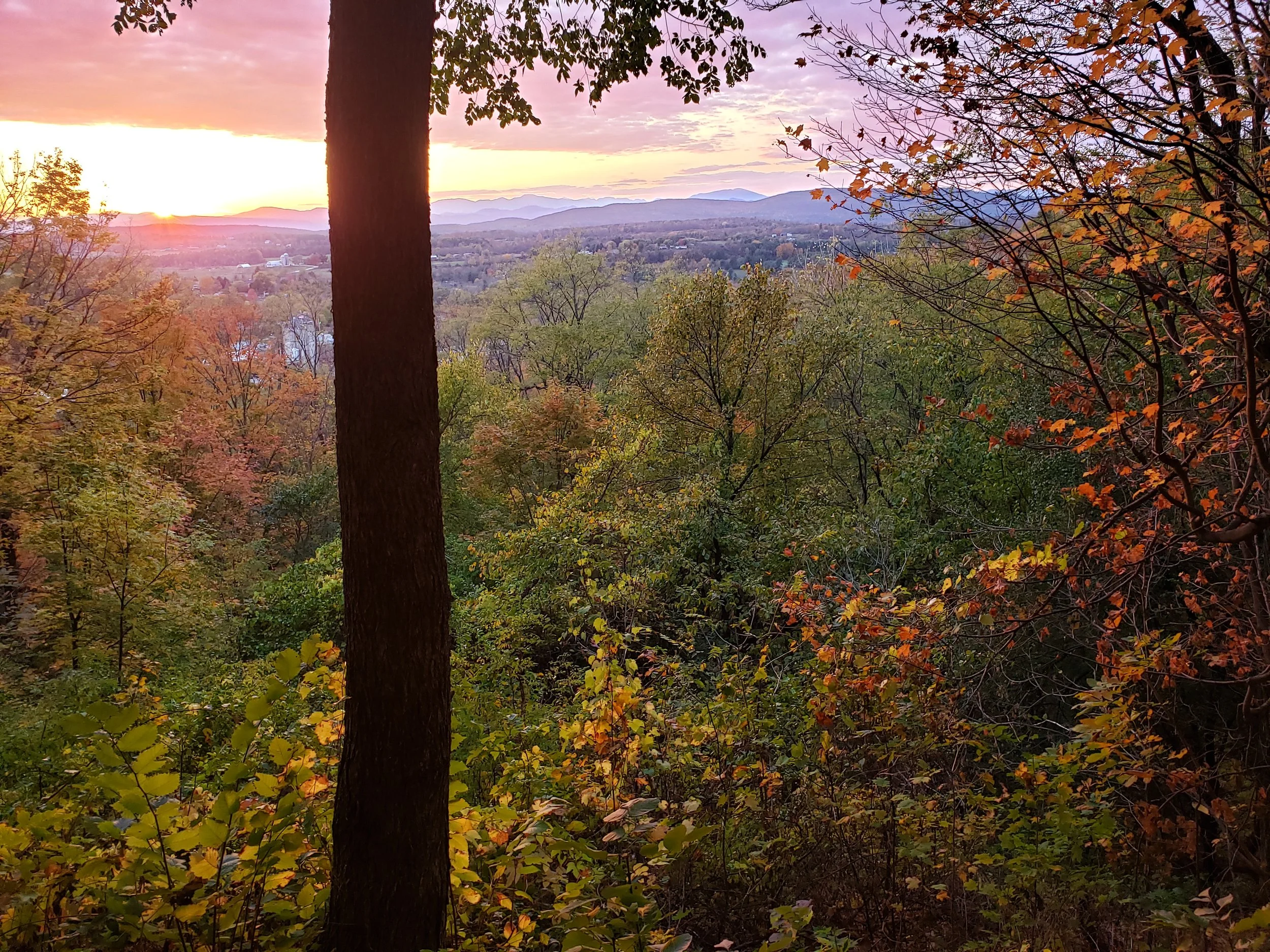
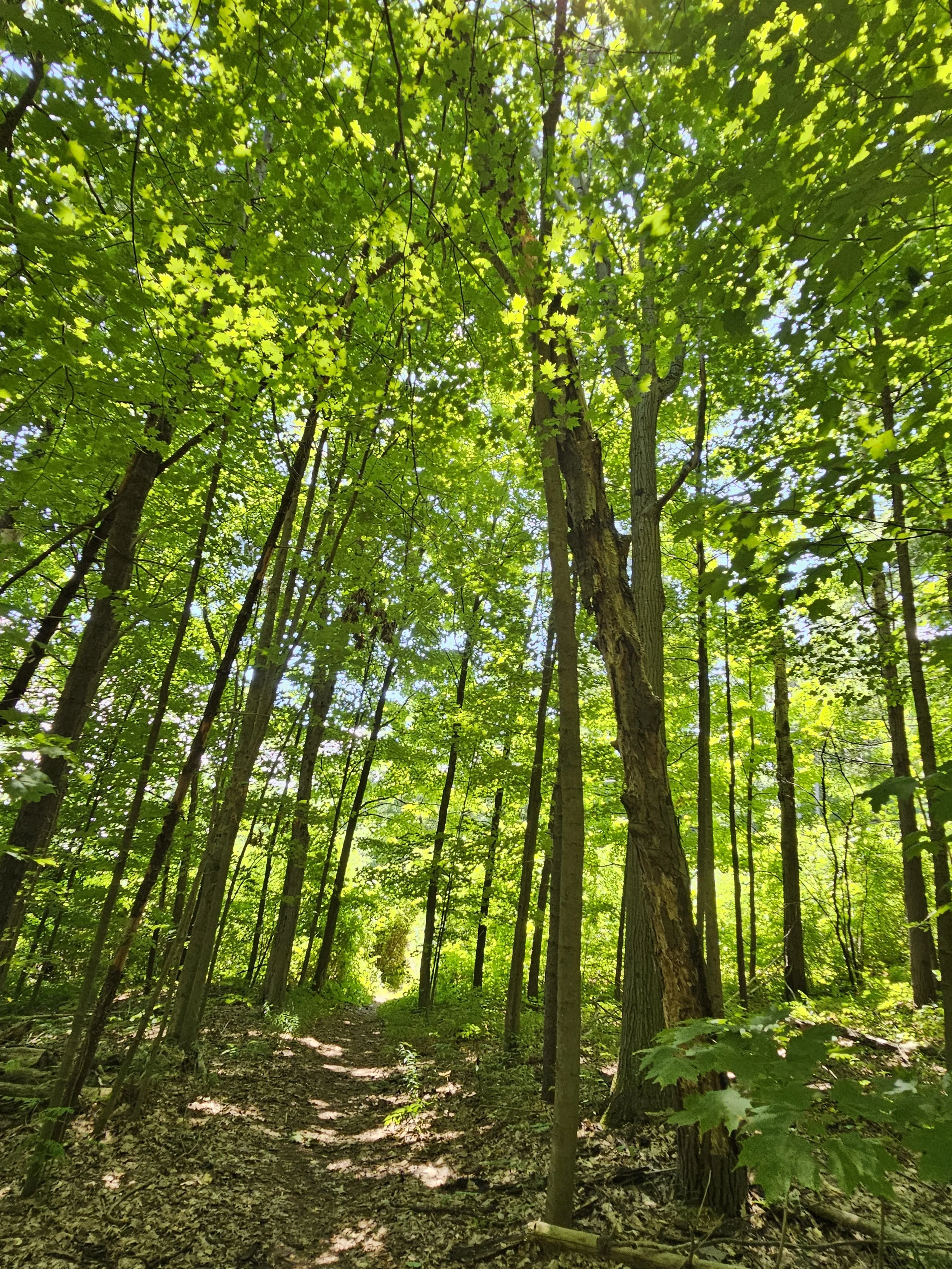
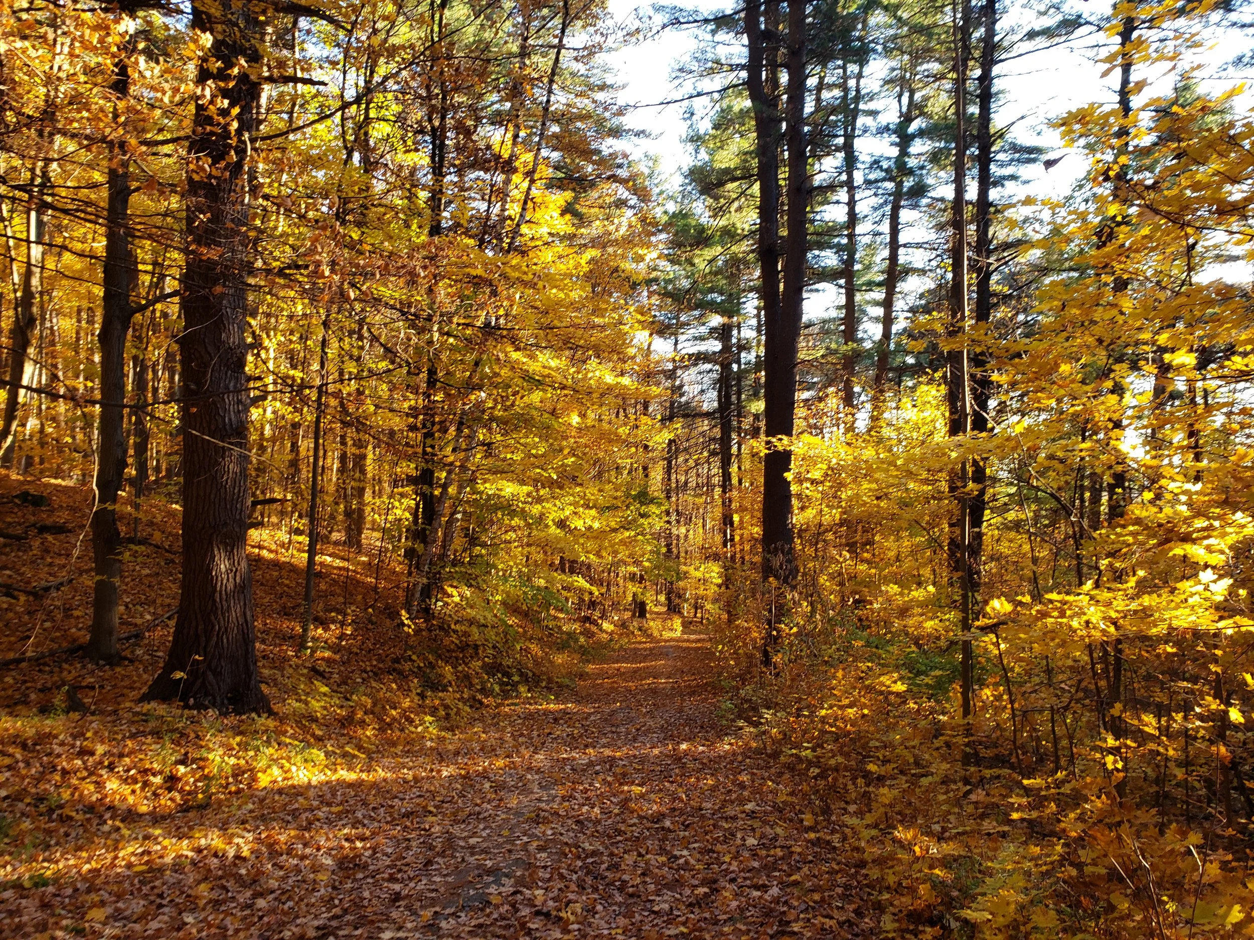
Chipman Hill is a prominent ~400-foot forested landmark in Middlebury, Vermont, with a mix of hardwood forests and towering white pines. It was formed ~ 13,500 years ago as the Laurentine Ice Sheet (~1 mile thick) retreated, dumping loads of glacial till, burying a core of limestone bedrock. The abundant sand and gravel composition allows the hill to act as a reservoir, resulting in natural springs along its slopes. Glacial meltwaters likely caused it to be briefly submerged under Glacial Lake Vermont before the land rebounded from the weight of the ice, then becoming an island in Glacial Lake Vermont. When the lake emptied ~12,000 years ago and the sea rushed in, the Champlain Sea was formed. It was smaller, never reaching the Middlebury area.
From pollen records, we know that this area, scraped bare of vegetation by the ice, became a tundra 12,500 years ago, inhabited by mega fauna hunted by Paleo-Indians. Birch & spruce migrated in ~11,000 years ago, transforming it into a taiga, then gradually turning into a forest as hemlock/maple/beech moved in ~ 8,000 years ago. From ~9,000 to 3,000 years ago Archaic cultures living in this area hunted smaller game (the mega fauna being now extinct, likely from over-hunting) and gathered nuts and berries. Woodland Cultures followed, beginning ~3,000 years ago, the Abenaki being the most recent of these. They hunted moose, deer, and black bear as well as smaller game such as passenger pigeons. They were less nomadic with much larger villages & practiced agriculture. They maple sugared in the spring, made pottery, and performed burial ceremonies. Indigenous peoples likely spent time on Chipman Hill over these time periods, but little is known about this, as no evidence of their presence has been uncovered.
Chipman Hill was named after early settler Daniel Chipman, who built a home on its slope in the early 1800s. It was cleared of its forest for grazing livestock in that same period and used for agriculture through the mid-1800s when Joseph Battell bought it. At the time of his death in 1860, he willed it to the town to be “used, improved and maintained as a public park forever”. Later, In the 1940s-50s it hosted a Middlebury College ski area with a ski jump. For several decades in the mid to late 20th century, the sand and gravel of Chipman Hill was mined. Many of those old pits have since been re-naturalized. Chipman Hill is now a protected recreation area. In addition, it hosts telecommunication towers and is used by the town as a high elevation point for water storage.
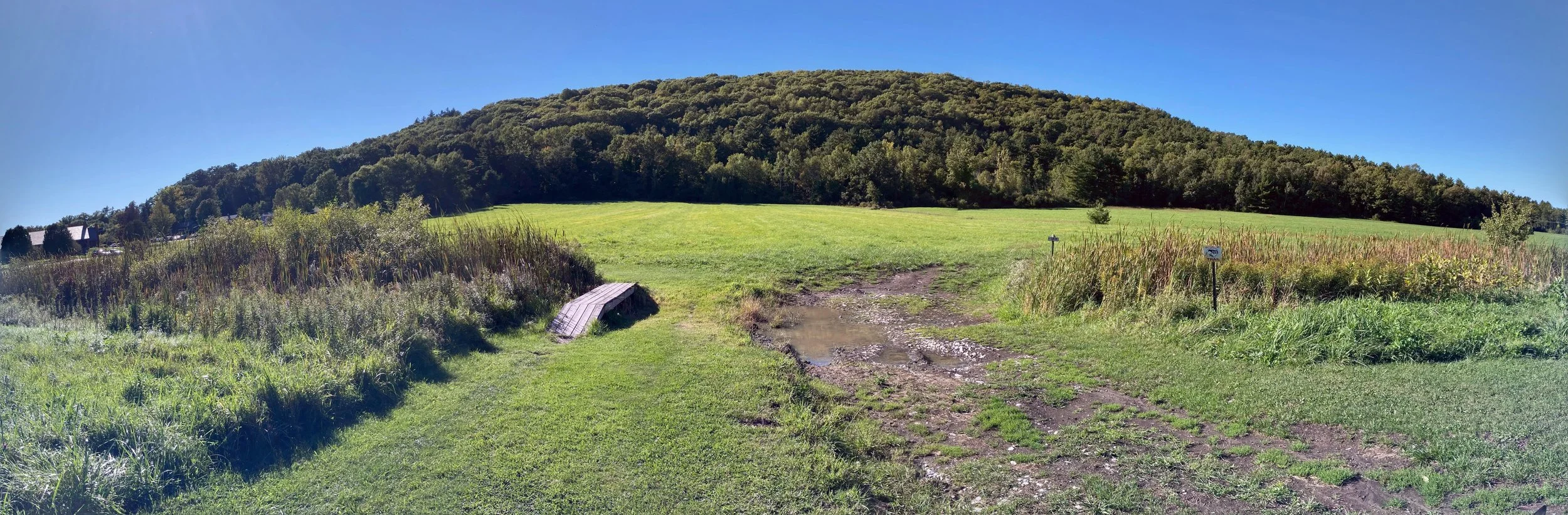
From the Middlebury Town Forest Recreation Plan: Chipman Hill is a 132-acre forest block … within a mile of the village green. With its steep slopes, it was once the college ski hill. Today it is a dense forest home to roughly five miles of trails. It has multiple scenic vistas that are popular for picnics. Hikers and mountain bikers heavily use the trails, including building and maintaining trails.
The TAM on Chipman Hill
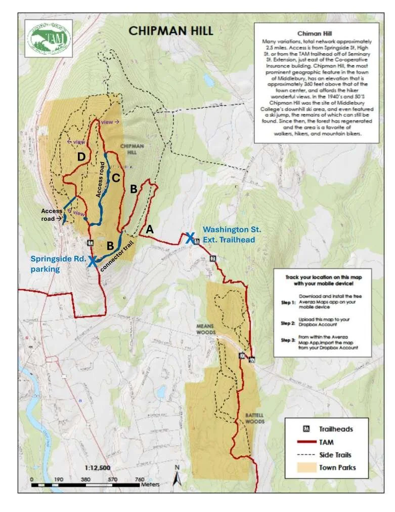
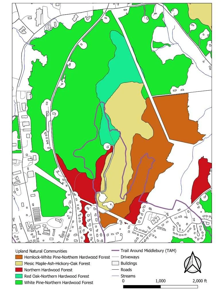
The map below, left, shows the main TAM trail on Chipman Hill, in red. There is a variety of habitats or natural communities one passes through on the trail, as shown in the right hand map. These can be broken down into four general regions, located as indicated on the map and as described in the table below.
| Description | Mileage | Comments | |
|---|---|---|---|
| A | Field, then edge of woods | 0-0.5 | Reach woods edge at 0.24, then first switchback at 0.51. |
| B | Small White Pine grove, then Mixed hardwoods with Hemlock & White Pine, following edge of old gravel pits. | 0.5-0.8 | Curve left & up through old white pine grove to reach edge of first old gravel pit on left at 0.60 mi. Reach 4-way intersection at 0.8 mi shortly after leaving edge of gravel pits. Go straight to parking lot or turn right to continue on TAM. |
| C | Mixed hardwoods. | 0.8-1.2 | Uphill moderately, then steeply before leveling out, then bends left to meet up with service road. Turn right on service road. |
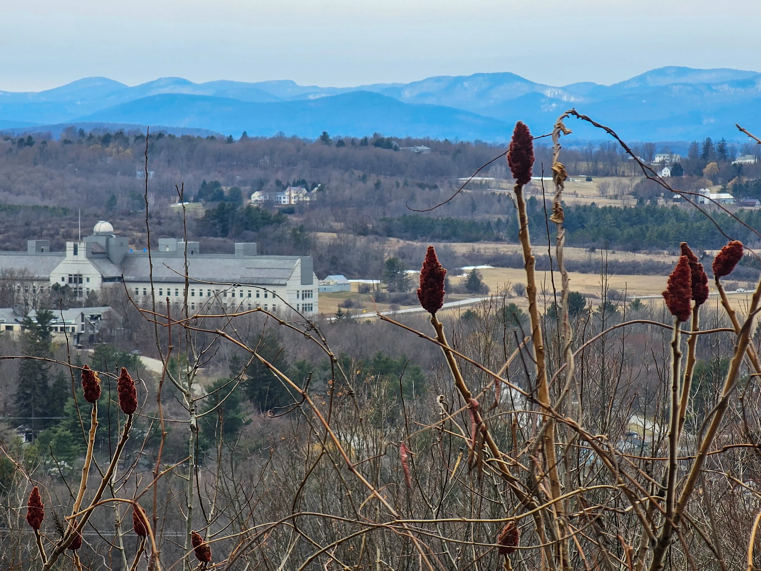
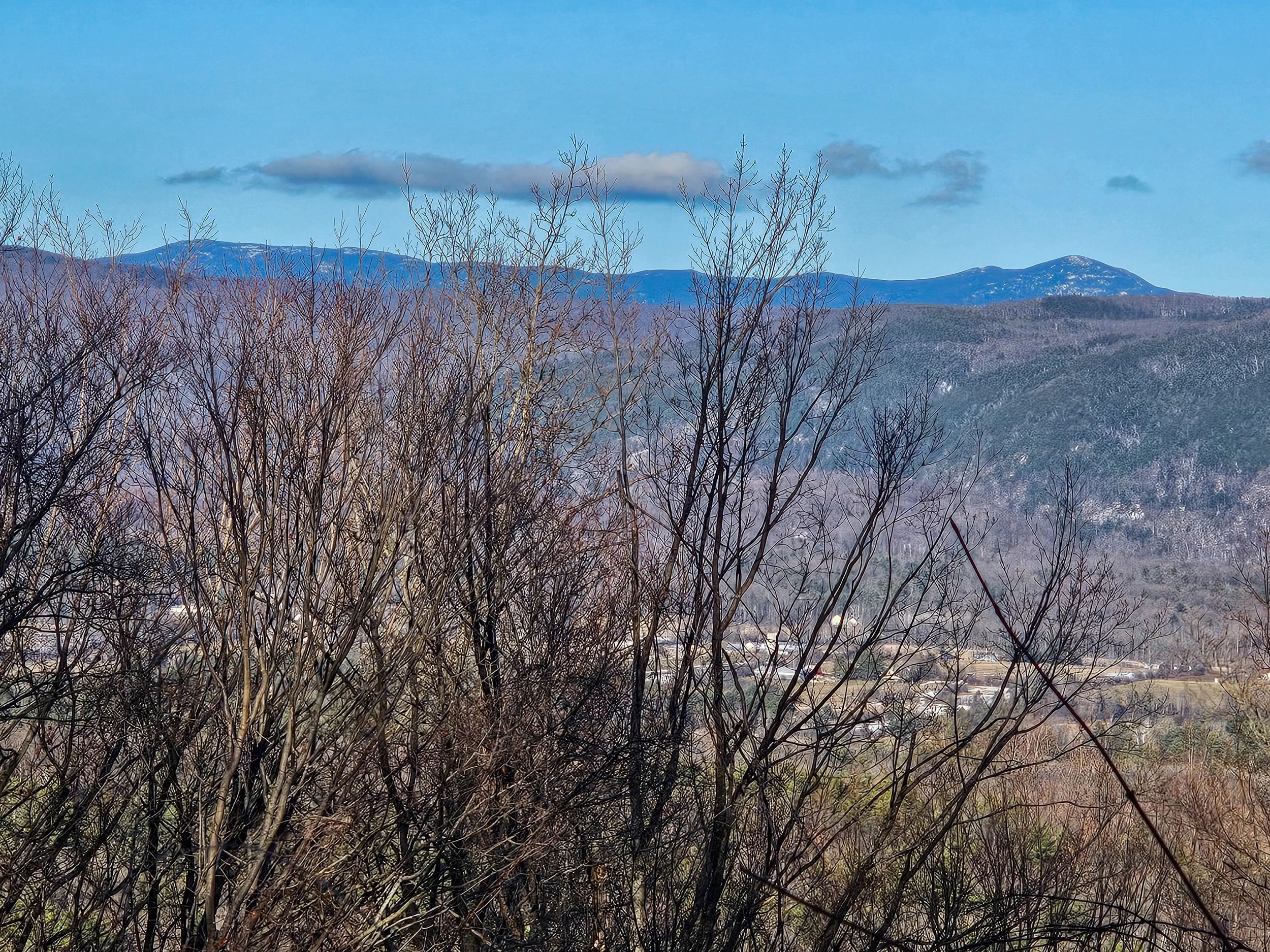
| D | White Pine & Mixed Hardwoods, with mowed open area leading to west view & picnic table. | 1.2-2.1 | View east of Lincoln range and Mt. Abe, bench. Enter 2nd old white pine grove, then reach view west of college and Adirondacks, picnic table at 1.66. Go about 0.1 mi downhill to left hand turn, heading uphill, leaving High St. accessible service road. At 1.9 mi a short spur on right leads to a bench & a view west. Shortly after that, meet up again with service road extension of Springside Rd. & turn right down by Trailhead Kiosk to parking area on left at 2.1 mi. |
| B | Mixed Hardwoods, edge of old gravel pit. | 2.1-2.3 | On TAM side trail (“connector trail” on map), cross power line in ~0.1 mi, then 4-way intersection at 2.3. Continuing straight, back onto the TAM, it is 0.8 miles further for a total of ~3.1 miles. |
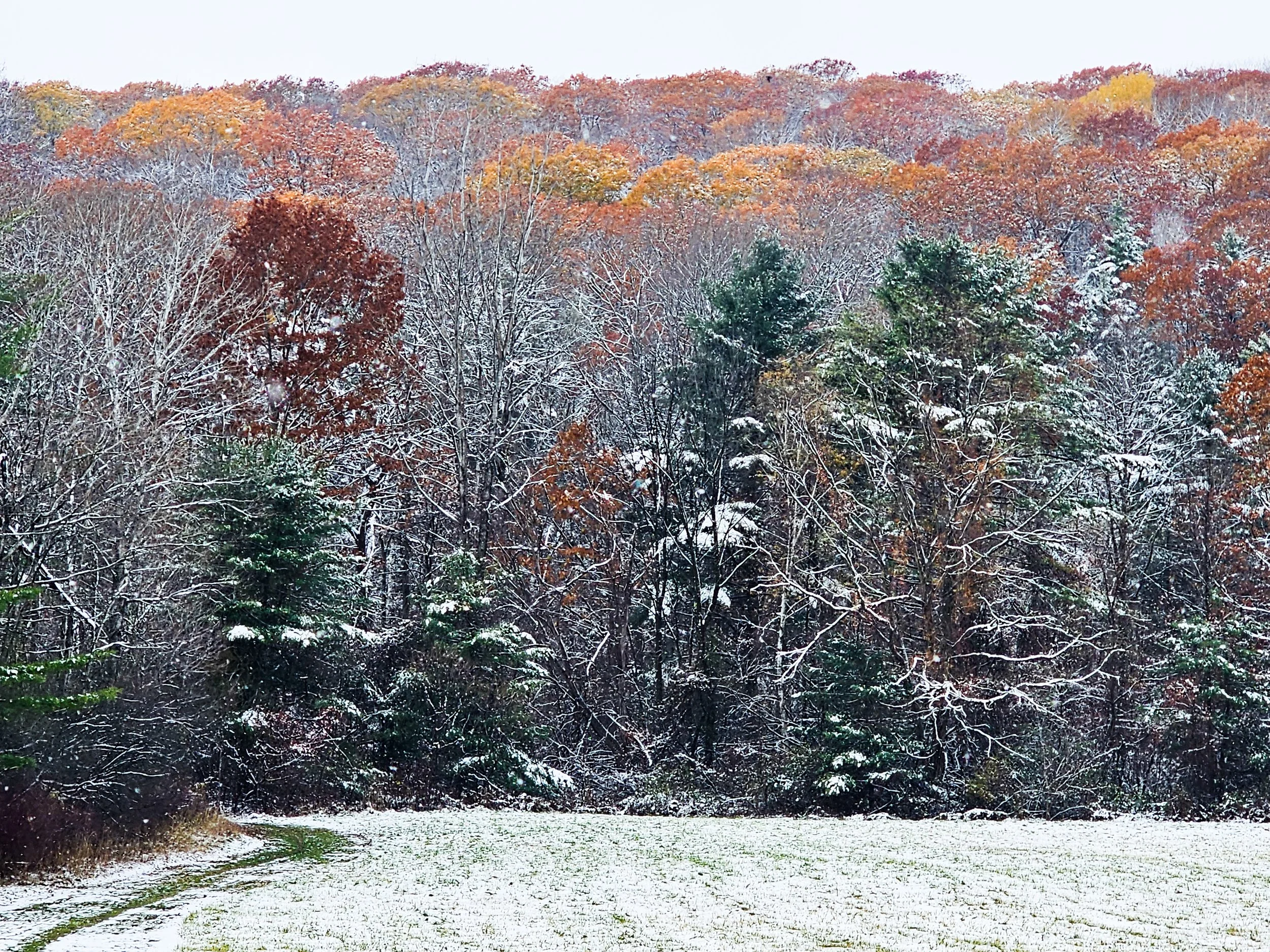
Flora & Fauna of Chipman Hill
While birds can be found on Chipman Hill year-round, spring and fall are particularly good times to look for migrating birds, especially warblers. A checklist of the birds found on Chipman in 2025, mainly from eBird records, is here. We will do eBird checklists on our nature walks to contribute to citizen science.
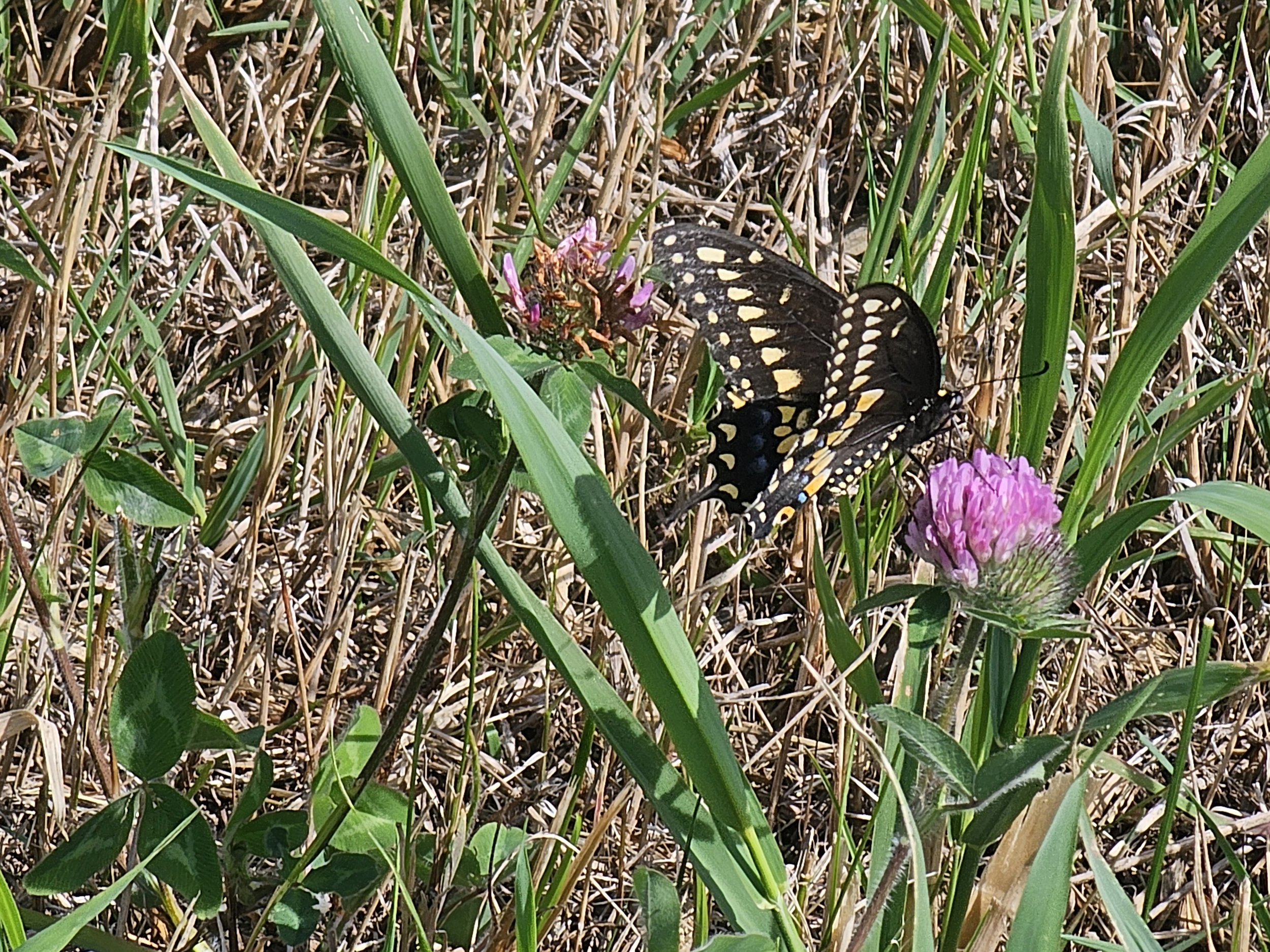
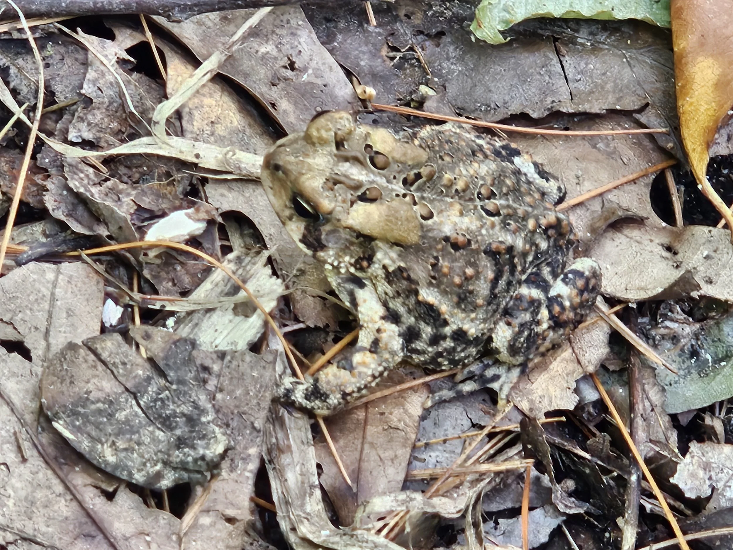
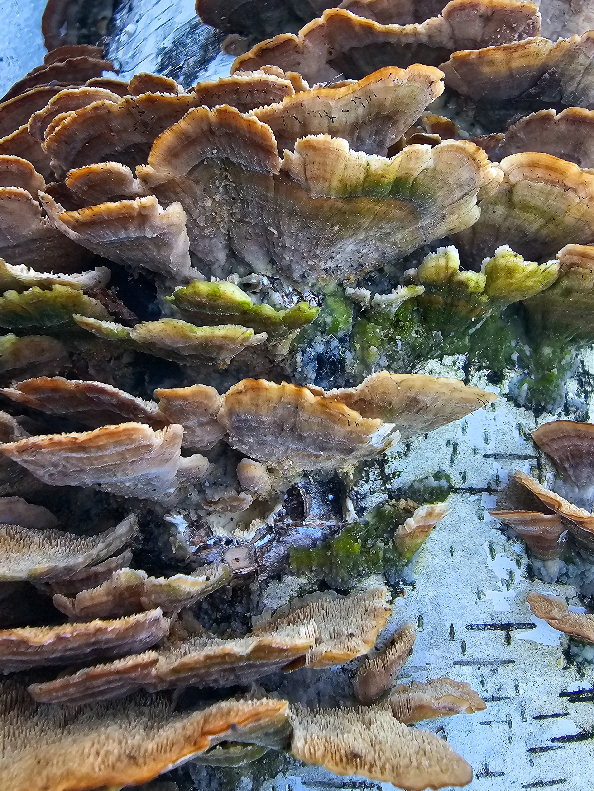
In addition to birds, our Friends group is in the very early stages of compiling a checklist, linked here, of flora and other fauna of Chipman Hill, including native plants, invasives, fungi, mammals, amphibians & reptiles found on Chipman Hill.
You might want to bring one or both lists with you when you go on a walk on Chipman Hill to use as a checklist to help you with identification.
Share what birds as well as flora & fauna that you find to help us build a database for Chipman Hill by emailing a note about what you saw or heard & a picture if you have it to Holly at holly@maltvt.org. In the future, we hope to set up a Collection Project in iNaturalist for compiling sightings – stay tuned!
Friends of the TAM: Chipman Hill
Goal
The Friends goal is to be out in nature with kindred spirits. Spending more time in nature builds a deep-seated love of our natural world & ensuing from that, a desire to protect and steward it. We have high hopes that this volunteer community model could end up being a long-term MALT/TAM stewardship force multiplier.
What the Friends group is
How the Friends of the TAM – Chipman Hill takes shape and will evolve will be driven by interests of the Friends. There are very many ways to be out in nature. There is room for all in our Friends group. You may want to ID flora, look for & listen to birds, hike, trail run, mountain bike, help maintain the trail, or fight invasives. All walks are free. Some will require preregistration. Advance sign-up, even if preregistration isn’t required would be appreciated. Advance sign-up will keep you in the loop on walk details, such as a shift to the rain date.
If you would like to join the Friends Group and want to share what Friends Group activities would interest you the most, click on the link below. You may also email Holly Fulton at holly@maltvt.org.